Analysis of infrastructure for biological diversity
Description of the project
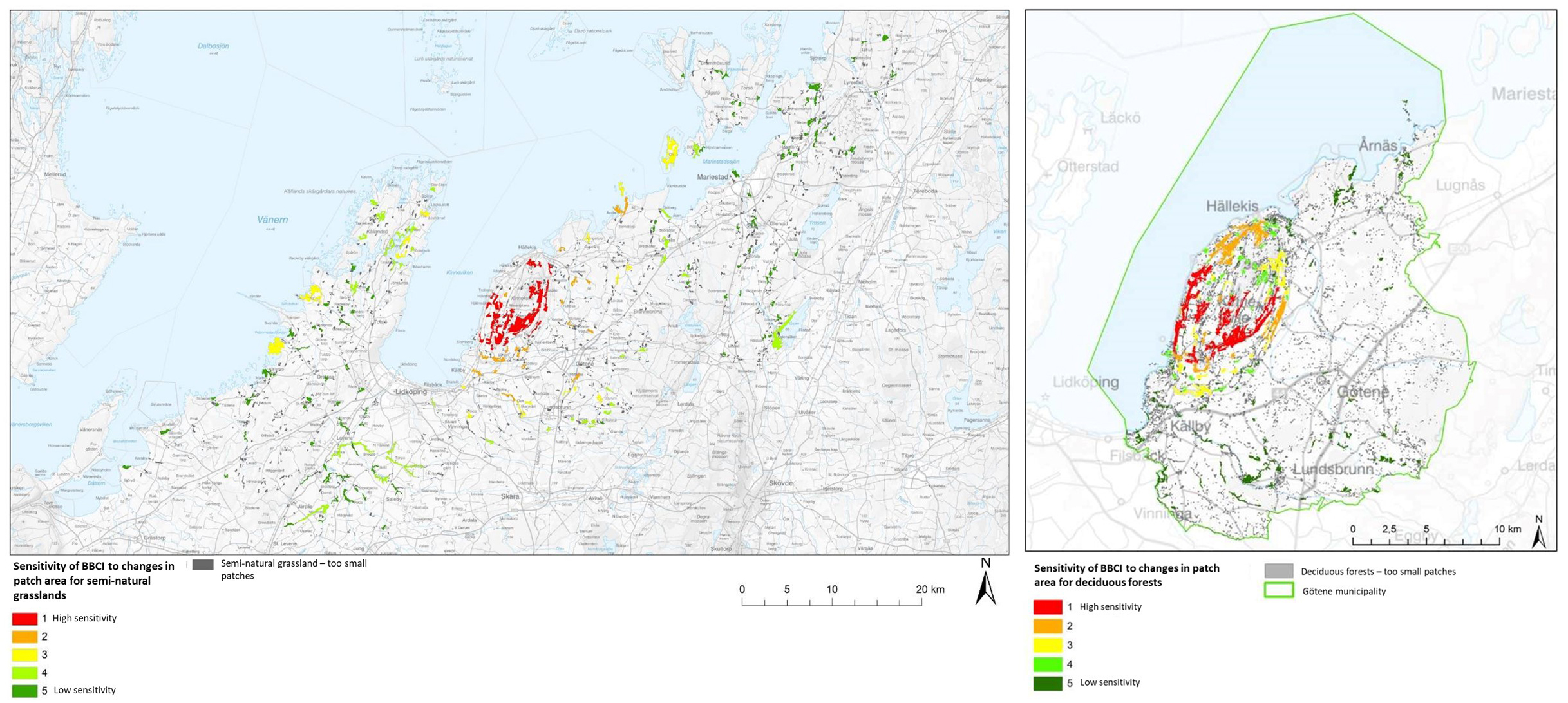
In the project "Analysis of infrastructure for biological diversity in the Lake Vänern Archipelago ang Mount Kinnekulle UNESCO Biosphere Reserve", researchers at the University of Skövde have tested a newly developed digital tool for ecological landscape analysis, which estimates a biotope landscape's ability to maintain biodiversity. The tool can examine whether i) the landscape is sustainable from a biodiversity perspective, ii) how many and which patches are not sustainable in themselves and iii) how sensitive the landscape's biodiversity is to impacts on specific patches.
The tool was tested in collaboration with the three municipalities of Mariestad, Götene and Lidköping and resulted in a knowledge base for the municipalities for their work with improvement of green infrastructure.
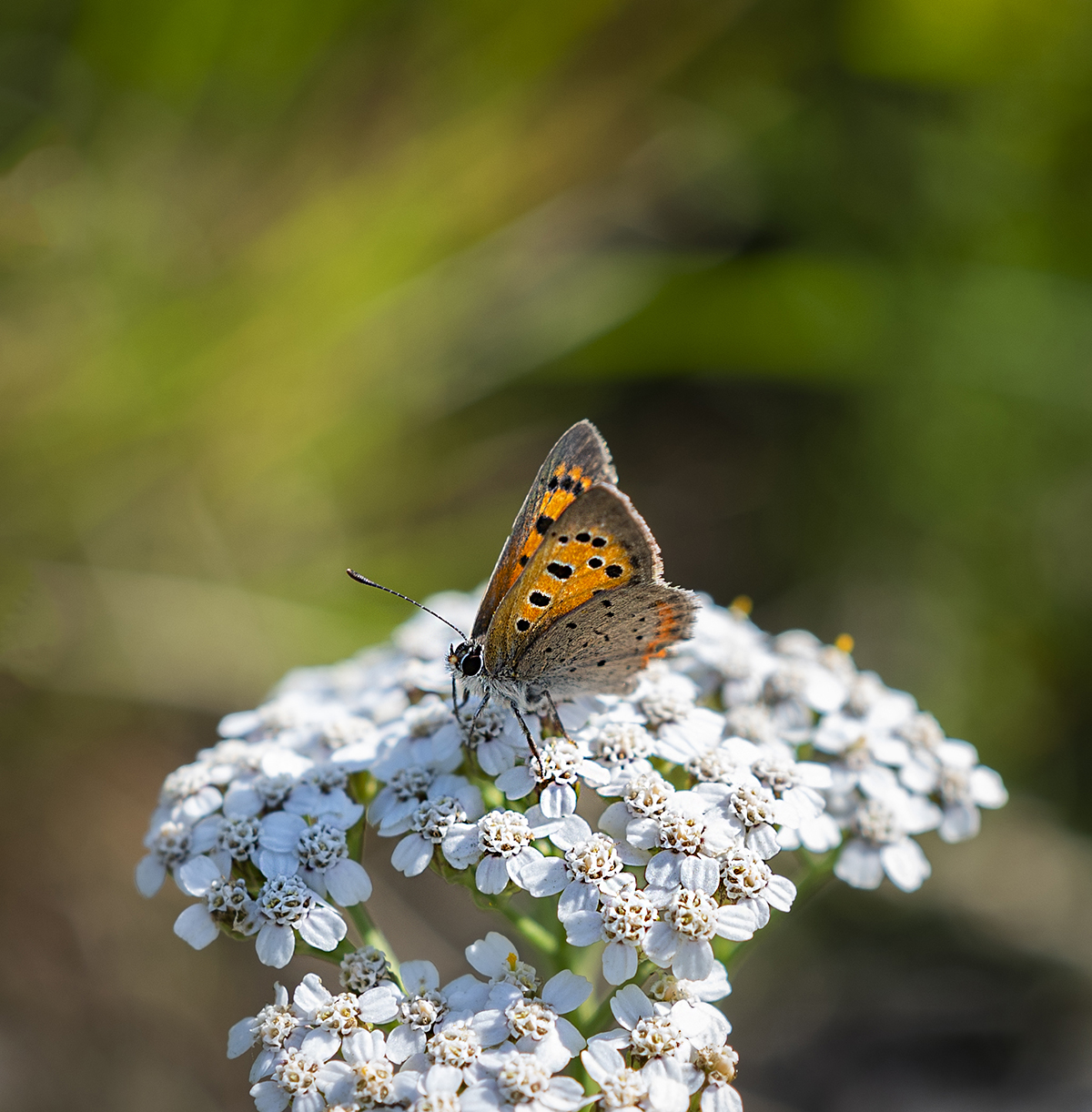
Overall, landscape analyses were produced for five biotope landscapes, which were selected in dialogue with the three municipalities. The analyzed biotopes are grassland, older coniferous forest, broadleaf forest, wetlands, and bird island nesting areas. Land cover data from several different databases were combined to form input data for the structure of the biotope landscape.
The biotope landscape's long-term sustainability for biological diversity was calculated for a time perspective of 100 years. The analyzes were made both based on the individual municipal landscapes and for the entire biosphere area. An overall perspective across municipal boundaries can favor the possibility of improving the green infrastructure through cooperation across municipal boundaries.
Results and effects
From the landscape analyses the municipalities can prioritize land use so that they maintain and develop a green infrastructure that strengthens the biodiversity. The tool developed at the University of Skövde is based on a mathematical algorithm building on ecological knowledge about how the structure of the landscape affects the survival of species.
Focal points:
- The project result will contribute to strengthening ecosystems, species, and genetic diversity. The project is a good example of how BR can function as living laboratories for testing and implementing strategies to conserve and restore biodiversity. (1)
- Through this project our Biosphere reserve has developed a tool that will be used to strengthen the sustainability in land use, agriculture, forestry, and other human activities. From the landscape analyses the municipalities can prioritize land use so that they maintain and develop a green infrastructure that strengthens the biodiversity. Which will support how humans can live in harmony with nature while ensuring the sustainable use of resources. (2)
- Through the project our Biosphere reserve has served as a platform for research and education to fostering a better understanding of ecosystems and sustainable practices.